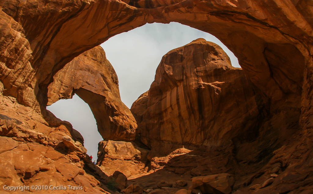
Arches National Park
Arches National Park “…has over 2,000 natural stone arches, in addition to hundreds of soaring pinnacles, massive fins and giant balanced rocks.
Here is the Park website. Phone 435-719-2299 Map Trails Visitor Guide Accessibility
![]() “An audio tour of the park’s scenic road is available for purchase or rental at the bookstore. …. Large-print and braille publications are available at the visitor center.”
“An audio tour of the park’s scenic road is available for purchase or rental at the bookstore. …. Large-print and braille publications are available at the visitor center.”
![]() These three trails are considered “barrier-free”: (“Barrier-free trails may contain minor obstacles, steeper grades and temporary washouts.”)
These three trails are considered “barrier-free”: (“Barrier-free trails may contain minor obstacles, steeper grades and temporary washouts.”)
Devil’s Garden Trail to Landscape Arch 1.6 miles round-trip
Windows Trail – the first 100 yards only.
Double Arch Trail – This is a hard surface with a slope.