Sawtooth National Forest & Recreation Area

Sawtooth National Forest  / Sawtooth National Recreation Area
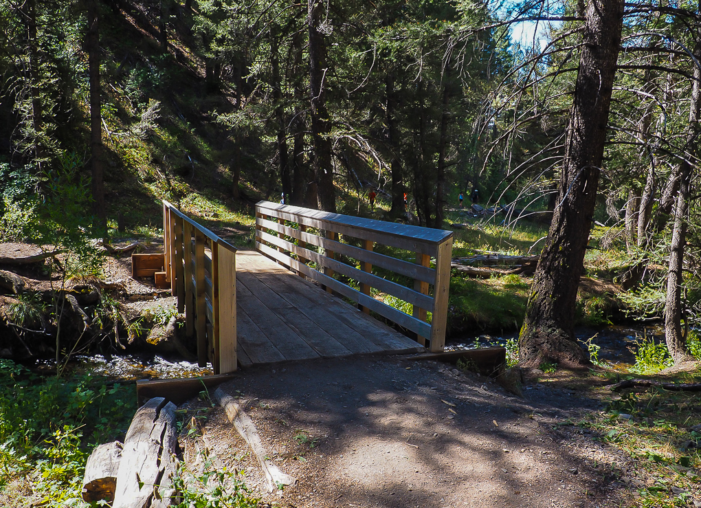
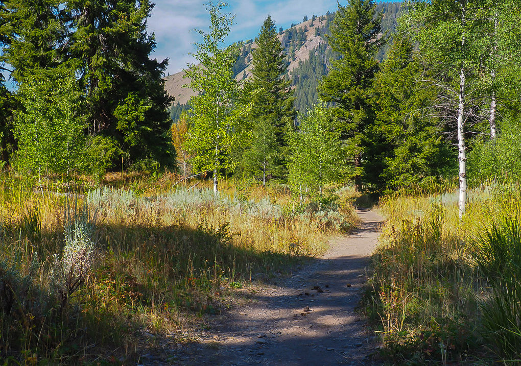
This 2.1 million acre forest is situated in south central Idaho and extends into northern Utah.  It includes the 217,000 acre Sawtooth Wilderness.  These lands include high granite peaks, narrow glacial valleys, deep forested valleys and high alpine lakes.  It abounds with wildlife and flowers.   Map of SNRA
Fairfield Ranger District 208-764-3202, Ketchum Ranger District 208-622-5371
Minidoka ranger district 208-677-4878, Sawtooth NRA 208-727-5000 or 208-744-3000  Here is the website for the National Forest and the website for the National Recreation Area.

Wheelchair AccessibleMurdock Trail Map and information   A little over the first mile is wheelchair accessible.  From the guide, “The Murdock Creek canyon features wildflowers, wildlife, and dramatic rock outcroppings, and there are several nice picnic spot along the trail.”  The trail is dirt with small rocks. Thanks to trail guidebooks author Maryann Gaug for letting me know about this trail. 

Accessible bridge on easy Murdock Creek Trail, Sawtooth National Forest, Idaho
Accessible Stream Crossing on Murdock Creek Trail Sawtooth Nat’l. Forest, ID ©Maryann Gaug
Partly wheelchair accessible Murdock Creek Trail, Sawtooth National Forest, Idaho
Partly accessible Murdock Creek Trail Sawtooth Nat’l. Forest, ID ©Maryann Gaug

Dead Horse Ranch State Park

Dead Horse Ranch State Park
Dead Horse Ranch State Park has some accessible and easy trails.  The park is set by the Verde River, near the town of Cottonwood, Arizona.  Set in the Cottonwood and Willow riparian gallery forest, it is a good place for hiking, horseback riding, camping and birdwatching.   There are many species of mammals and a great variety of reptiles and amphibians.
See Malia’s Miles for a great description with photographs.
Phone  928-634-5283  Trails     Maps   Map &  Brochure   Here is the park website.
Wheelchair AccessibleCanopy Trail 0.25 mile loops “under a Freemont Cottonwood tree canopy. Bird watching & wildlife viewing.”
Wheelchair AccessibleThere are accessible trails around each lagoon.  They are West Lagoon 0.39 miles, Middle Lagoon 0.41 miles, and East Lagoon 0.72 miles.
? The Verde River Greenway is a shared-use trail along the river.   From the photos and maps it appears that it might be easy walking, but be sure to check with the Ranger Station first.  928-634-5283

Know more about Dead Horse Ranch State Park?
Have you visited this location and know of more accessible or easy trails?  Is any of the information given here incorrect?  If so, please contact me using the form to the left and let me know what should be changed or added so I can update this post.

Cherokee National Forest

Cherokee National Forest
The 650,00 acre Cherokee National Forest in Eastern Tennessee stretches from Chattanooga to Bristol along the North Carolina border and lies in the heart of the Southern Appalachian mountain range.
Here is the Forest website.  Link to  Maps  & Publications   List of Day Hikes
Phones:  Unaka Ranger District 423-638-4109, Ocoee Ranger District,  423-388-3300, Ocoee Whitewater Center 423-496-0100,  Tellico Ranger District 423-253-8400, Watauga Ranger District 423-735-1500
HikerwithcaneAppalachian National Scenic Trail #1 at Osborne Farm  0.5 miles  “where Cross Mountain bridges Holston Mountain and Iron Mountain.  This easy …slice of A.T. provides everyone an opportunity to enjoy the pastoral mountain views of Shady Valley”. Ocoee Ranger District
HikerwithcaneRhododendron Trail #332  1.6-miles, The “one-way hiking and biking trail travels along the world famous Ocoee River. ”  Ocoee Ranger District.
HikerwithcaneIndian Boundary Lake Trail #129  3.1 mile loop for hiking and biking.  It goes “around the scenic lake with views of the mountains.” Tellico Ranger District

Henry Horton State Park

Henry Horton State Park   Map   Brochure  Phone  931-364-7724
HikerwithcaneWilhoite Mill Trail  AllTrails “a 0.8 mile …. loop trail located near Chapel Hill, TN that features a river and is good for all skill levels.”  The park website describes it as “moderate”, but other sites say “easy”.
Wheelchair Accessible?   Henry Horton Greenway 0.2 miles.  The website does not say it is wheelchair accessible, but it is a “paved loop that highlights some of the wonderful native tree species and native grass fields.”  Call the park to get information on both these trails.

Reflection Riding Arboretum Nature Center

Reflection Riding Arboretum Nature Center
“This 317-acre property is home to hundreds of plant species.  Today the organization supports an array of gardens and the Level IV arboretum.  In addition, the miles of hiking trails present multitudes of wildflowers and some exotic species to be enjoyed in the natural state. ”  The Center is 10″ from downtown Chattanooga. 
Here is the Center’s website.  Phone  423-821-1160    Nature Center Map   Scenic Map   Accessibility
Non-Members Adult $10, Senior $7, Children 4-11 $7
Wheelchair AccessibleReflection Riding Loop scenic driving trail 3 miles  “experience a series of landscapes consisting of bucolic pastures, deep forests, meadows, bottomlands and sweeping vistas.”
Wheelchair AccessibleBoardwalk 1,400′ through seasonal wetland

City of Murfreesboro

City of Murfreesboro
Parks and Recreation phone 615-890-5333  Website   
Murfree Spring Wetlands
 (from the city) is a 25 acre city park with easy access to the children’s Discovery Center   Phone 615-890-2300  Trip Advisor  There is an $8 charge for the Center, but none for the walking trails.
Wheelchair AccessibleThe trails travel through flooded willow swamps, mature hardwoods, and open water wetlands that provide for a wide variety of species to be found. Spring and fall songbird migration can be excellent.