Arcadia Management Area
Arcadia Management Area is the state’s largest recreational area at 14,000 acres. The Wood River flows through the heart of the Management Area.
Phone: 401-539-3094 Here is the Area website.
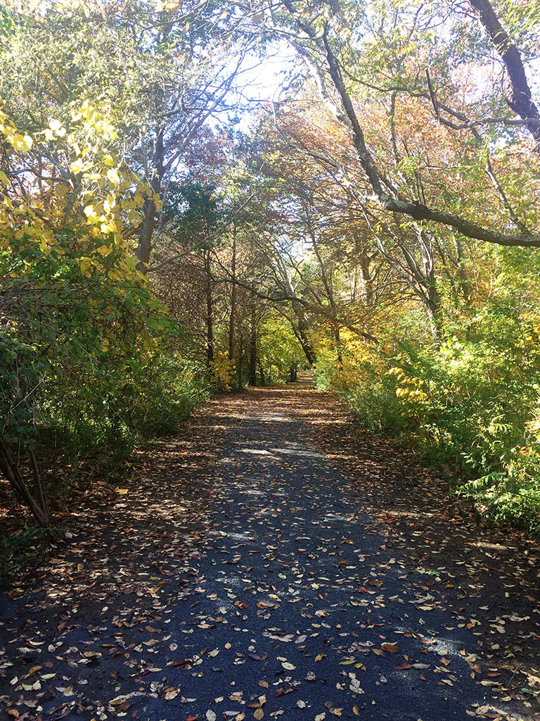
![]() Upper Roaring Brook Trail 0.5 mile “has a wooden walkway great for both strollers and wheelchairs along a pond and through wetlands.” Map Described on American Trails “The walkway runs between a pond and a hardwood swamp, allowing users to view different types of ecosystems.”
Upper Roaring Brook Trail 0.5 mile “has a wooden walkway great for both strollers and wheelchairs along a pond and through wetlands.” Map Described on American Trails “The walkway runs between a pond and a hardwood swamp, allowing users to view different types of ecosystems.”
Author: Cecilia
Ninigret National Wildlife Refuge
Ninigret National Wildlife Refuge
The Ninigret National Wildlfe Refuge is managed as part of the Rhode Island National Wildlife refuge which is made up of five refuges and includes Sandy Point Island.
Here is their website. Phone: 401-364-9124 Trail Map
Northern Section Kettle Pond & Northern Section Trail Map Kettle Pond Visitor Center Brochure All of these trails are described by Rhode Island Families in Nature as “very easy for children.”
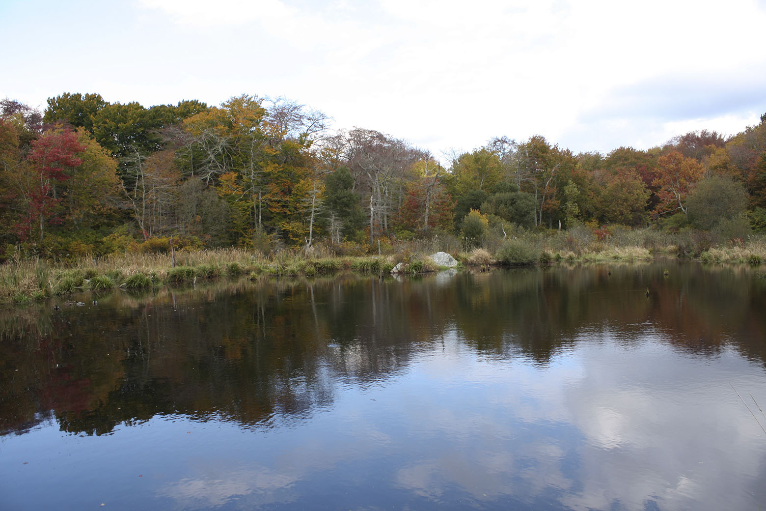
![]() Watchaug Pond Trail 0.5 mile “listen for the calls of the many migrating, resting and nesting songbirds.”
Watchaug Pond Trail 0.5 mile “listen for the calls of the many migrating, resting and nesting songbirds.”
![]() Toupoysett Pond Trail 0.25 mile “good views of a vernal pool, an important ecological feature and place of quiet beauty in all seasons.”
Toupoysett Pond Trail 0.25 mile “good views of a vernal pool, an important ecological feature and place of quiet beauty in all seasons.”
![]() Ocean View Trail 0.5 mile “marked by ridges and depressions shaped by the great ice sheet. …. At the end of the trail, visitors are treated to a view of Ninigret Pond, the barrier beaches, and Block Island.”
Ocean View Trail 0.5 mile “marked by ridges and depressions shaped by the great ice sheet. …. At the end of the trail, visitors are treated to a view of Ninigret Pond, the barrier beaches, and Block Island.”
Southern Section
![]() Grassy Point Trail is 1.3 miles and described by Rhode Island Families in Nature as having “spectacular views of Ninigret Pond, the largest coastal salt pond in the state.”
Grassy Point Trail is 1.3 miles and described by Rhode Island Families in Nature as having “spectacular views of Ninigret Pond, the largest coastal salt pond in the state.”
Rhode Island Families in Nature
Rhode Island Families in Nature “is a free group, open to families of all ages and abilities. We meet throughout the year in various parks and preserves throughout the state for kid-friendly hikes and activities.” They post this list with descriptions of 11 accessible trails in Rhode Island.
McIntosh Wildlife Refuge -Audubon Center
Claire D. McIntosh Wildlife Refuge — Audubon Environmental Education Center at Bristol
Here is the refuge website. This is the Nature Center and Aquarium website . Phone: 401-245-7500 Map
Thank you to Lawrence J.F. Taft of the Audubon Society of Rhode Island for suggesting this location.
![]() “Situated on the 28-acre McIntosh Wildlife Refuge, the Environmental Education Center has walking trails with a ¼ mile boardwalk that winds through fresh and saltwater marshes to a majestic view of Narragansett Bay. The refuge is along the East Bay Bike Path allowing bikers and walkers access to the refuge’s natural beauty…..The Center is fully handicapped accessible, including the trails and boardwalk.”
“Situated on the 28-acre McIntosh Wildlife Refuge, the Environmental Education Center has walking trails with a ¼ mile boardwalk that winds through fresh and saltwater marshes to a majestic view of Narragansett Bay. The refuge is along the East Bay Bike Path allowing bikers and walkers access to the refuge’s natural beauty…..The Center is fully handicapped accessible, including the trails and boardwalk.”
Norman Bird Sanctuary
Norman BirdSanctuary
Norman Bird Sanctuary is a wildlife sanctuary and environmental education center with more than 325 acres of diverse habitats and 7 miles of hiking trails.
Phone: 401-846-2577 Here is their website.
![]() Universal Trail. Thank you to Natasha Harrison for the photographs and this information: “…we .. just completed our Universal Trail which goes all the way down to our pond (about .25 miles) where we have a viewing platform. We have been working hard to be as accessible as possible so that more people can enjoy nature.”
Universal Trail. Thank you to Natasha Harrison for the photographs and this information: “…we .. just completed our Universal Trail which goes all the way down to our pond (about .25 miles) where we have a viewing platform. We have been working hard to be as accessible as possible so that more people can enjoy nature.”
Bucks County
Bucks County Parks and Recreation
Bucks County has eight parks, eight recreation areas and three nature centers.
Here is their website. Phone215-348-6114 or 215-757-0571
Churchville Nature Center Trail Map 215-357-4005
![]() Thank you to Kirsten Becker, who supplied the map and this trail information: “We have one small section of trail, our yellow trail, that is paved that loops around our meadow and over to our pond, as well as a small section that has a board walk near that. The remainder of the trails (2 miles total) are hard packed dirt. One of our trails, the orange trail does have a great deal of exposed roots through one section. Our building is accessible. ”
Thank you to Kirsten Becker, who supplied the map and this trail information: “We have one small section of trail, our yellow trail, that is paved that loops around our meadow and over to our pond, as well as a small section that has a board walk near that. The remainder of the trails (2 miles total) are hard packed dirt. One of our trails, the orange trail does have a great deal of exposed roots through one section. Our building is accessible. ”
Silver Lake Park 215-757-0571 Nature Center
![]() “A half mile double loop is handicapped accessible and can be reached from the Visitor Center or from the parking lot by the lake.”
“A half mile double loop is handicapped accessible and can be reached from the Visitor Center or from the parking lot by the lake.”
-Rhode Island State Parks
Rhode Island State Parks and Recreation
These Rhode Island State Parks have handicapped-assisted surf chairs for visitor use: Roger Wheeler, East Matunuck, Salty Brine, Lincoln Woods, Goddard Memorial, and Scarborough. Colt and East Bay Bike Path have recreational hand-cycles. See Accessibility for more information. There are hiking trails in Rhode Island State Parks, but information about them is scanty. Let me know if you have a favorite.
Here is the website for Rhode Island State Parks & Recreation Phone 401-667.6200
Pennypack Ecological Restoration Trust
Pennypack Ecological Restoration Trust
“The Trust maintains “..almost 11 miles of trails in the Preserve open free to the public to explore and enjoy the natural world all year long.”
Here is the Trust website, Phone 215-657-0830 Trails
Thank you to David Robertson for the following information:
![]() “The Pennypack Parkway (between Mason’s Mill Road and Pennypack Road) is very accessible for disabled visitors. It was an old, flat, level road that is now abandoned and surfaced with crushed stone grit. It may have a few minor erosion rills in places, but I recommend it to people in wheelchairs and families with children in strollers.”
“The Pennypack Parkway (between Mason’s Mill Road and Pennypack Road) is very accessible for disabled visitors. It was an old, flat, level road that is now abandoned and surfaced with crushed stone grit. It may have a few minor erosion rills in places, but I recommend it to people in wheelchairs and families with children in strollers.”
![]() “Montgomery County’s new Pennypack Trail, a rails-to-trails project created on the bed of the old Fox Chase-Newtown regional rail line, parallels the Creek Road Trail on the east side of the creek. That trail is flat, even, and level–perfect for disabled users. It is heavily used. The Pennypack Trust does not maintain that trail; it is the responsibility of Montgomery County, and it extends southward to the county’s Lorimer Park for a total length of just over 5 miles.”
“Montgomery County’s new Pennypack Trail, a rails-to-trails project created on the bed of the old Fox Chase-Newtown regional rail line, parallels the Creek Road Trail on the east side of the creek. That trail is flat, even, and level–perfect for disabled users. It is heavily used. The Pennypack Trust does not maintain that trail; it is the responsibility of Montgomery County, and it extends southward to the county’s Lorimer Park for a total length of just over 5 miles.”
![]() ?? “The Creek Road Trail, also an old abandoned road, is subject to flooding because it is located so close to the creek. While the trail is mostly flat and level, the surface is very, very uneven. In places, it is gravel, in other places it is paved, and in still other places it has washed out down to the ballast under the asphalt. I wouldn’t recommend it for a disabled person.”
?? “The Creek Road Trail, also an old abandoned road, is subject to flooding because it is located so close to the creek. While the trail is mostly flat and level, the surface is very, very uneven. In places, it is gravel, in other places it is paved, and in still other places it has washed out down to the ballast under the asphalt. I wouldn’t recommend it for a disabled person.”
John Heinz National Wildlife Refuge at Tinicum
John Heinz National Wildlife Refuge at Tinicum
“The refuge protects a variety of habitats for birds in the highly urbanized landscape of greater Philadelphia.”
Here is their website. Phone 215-365-3118 Brochure and Map
![]() Darby Creek. Thank you to Park Ranger Suzanne Kelley who writes that “We have a .6 mile accessible loop – the asphalt path, about 8′ wide, goes between Darby Creek and the impoundment (big man-made pond), crosses the impoundment on a boardwalk and comes back to the visitor center or parking lot through the woods on an asphalt path about 6′ wide. Just past the boardwalk is our accessible fishing deck – the asphalt goes up to it. The visitor center is also accessible…The rest of the service roads and paths are hard packed dirt, gravel. and wood chip. The terrain in general is flat with minor hills towards the center of the refuge.”
Darby Creek. Thank you to Park Ranger Suzanne Kelley who writes that “We have a .6 mile accessible loop – the asphalt path, about 8′ wide, goes between Darby Creek and the impoundment (big man-made pond), crosses the impoundment on a boardwalk and comes back to the visitor center or parking lot through the woods on an asphalt path about 6′ wide. Just past the boardwalk is our accessible fishing deck – the asphalt goes up to it. The visitor center is also accessible…The rest of the service roads and paths are hard packed dirt, gravel. and wood chip. The terrain in general is flat with minor hills towards the center of the refuge.”
Sachuest Point National Wildlife Refuge
Sachuest Point National Wildlife Refuge
Visitor activities at Sachuest Point National Wildlife Refuge include fishing, wildlife viewing, interpretation, environmental education and photography.
Map Trail Map Here is their website. Phone; 401-364-9124 Headquarters or 401-847-5511 Visitor Center.
Be sure to call ahead to ascertain if the trails are suitable for your abilities.
![]() ? Flint Point trail is 1.2 miles in “terrain mild and barrier free”
? Flint Point trail is 1.2 miles in “terrain mild and barrier free”
? Ocean View Loop is 1.5 miles in “Mild terrain”
Visitors on Yelp and Trip Advisor describe the trails as “flat and easy walking” and having a “stone dust trail wide enough to walk side by side”. “trails can get muddy when it rains”