Tishomingo National Wildlife Refuge
The refuge, situated in south central Oklahoma, is “…a place rich in nature and history where it is easy to imagine an era of vast herds of wild animals grazing the prairies and the darkening of skies from flocking birds. ” The Refuge includes the 93,000 acre Lake Texoma.
Trails Phone: 580-371-2402 Map Here is their website.
![]() Oklahoma Legacy Arboretum is .25 miles and “meanders through the hummingbird and butterfly gardens ……”
Oklahoma Legacy Arboretum is .25 miles and “meanders through the hummingbird and butterfly gardens ……”
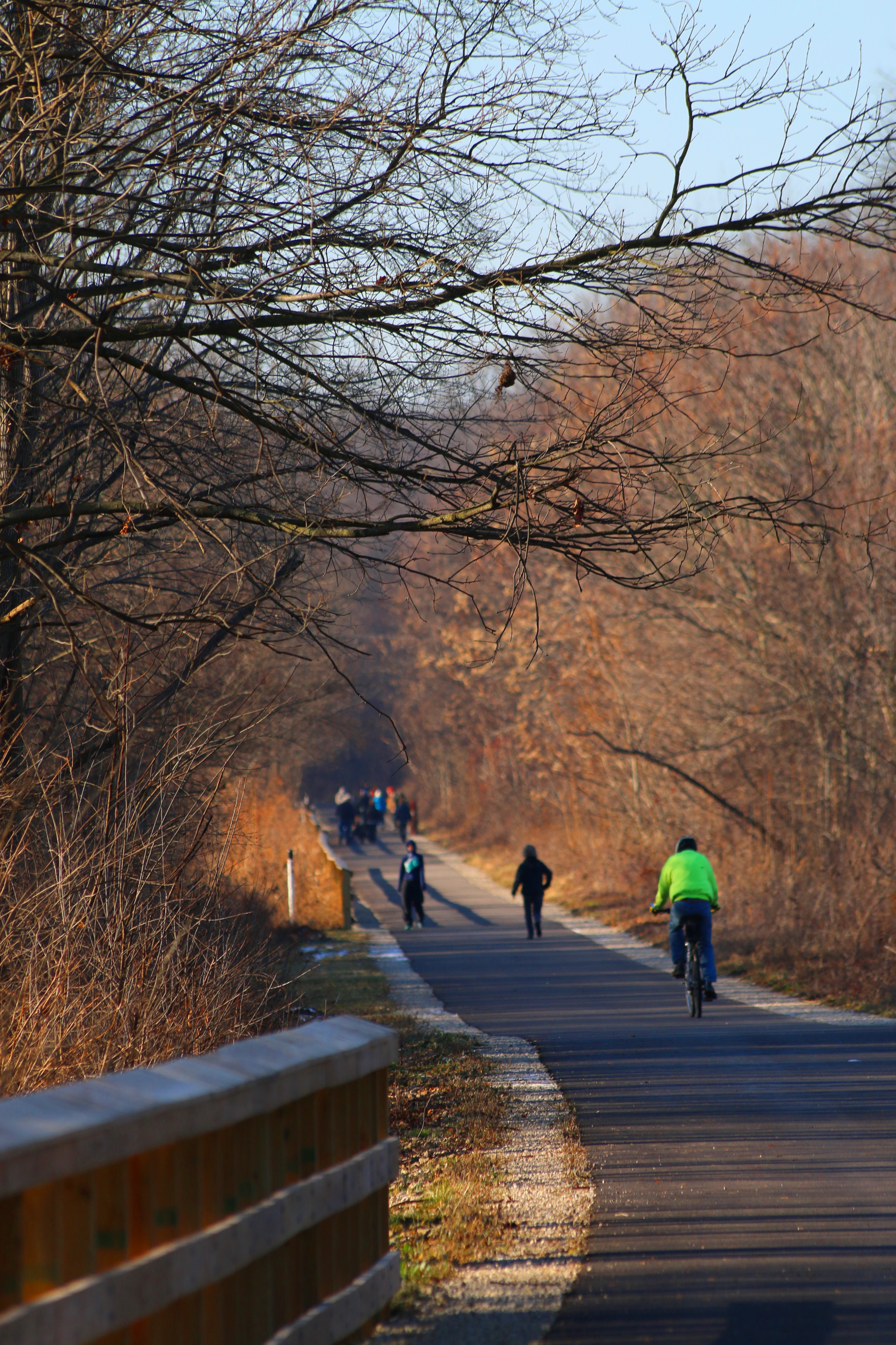
![]() Craven Nature Trail is “one of the best places on the refuge to delve into wildlife….” The first 1/4 mile of the trails is paved and the rest is gravel.
Craven Nature Trail is “one of the best places on the refuge to delve into wildlife….” The first 1/4 mile of the trails is paved and the rest is gravel.
Author: Cecilia
Salt Plains National Wildlife Refuge
Salt Plains National Wildlife Refuge
For millennia “…the salt plains provided essential shelter, foraging, and breeding habitat attracting multitudes of migrating waterfowl, breeding birds, and big game such as bison and deer. Today, this unique assemblage of habitat surrounded by a patchwork of farmlands continues to be a vital migratory stopover and breeding grounds for birds and a protected area for wildlife.”
Here is their website. Trails Phone: 580-626-4794
![]() Sandpiper Trail is 0.4 miles and “includes two footbridges and an observation deck with spotting scope for viewing shorebirds that abound during the spring and fall migrations.”
Sandpiper Trail is 0.4 miles and “includes two footbridges and an observation deck with spotting scope for viewing shorebirds that abound during the spring and fall migrations.”
Chickasaw National Recreation Area
Chickasaw National Recreation Area
“Springs, streams, lakes – whatever its form, water is the attraction at Chickasaw National Recreation Area. Relax in the coolness of shaded streams or take a dip in a swimming hole. Little Niagara and Rock Creek beckon waders and swimmers. Veterans Lake calls anglers to test their skills. Lake of the Arbuckles provides excellent opportunities for motorboating, skiing, fishing, and swimming.”
Here is the Area’s website. Trails Accessibility phone 580-622-7234
![]() There is a two mile long concrete trail around Veterans Lake that is “fully accessible.”
There is a two mile long concrete trail around Veterans Lake that is “fully accessible.”
![]() ?Antelope and Buffalo Springs Trail 1.2 miles, Fishing Rock 0.8 mile, Lakeview 0.5 miles, and Travertine Creek Trail 1.5 miles one way, are all describes as “easy”. Call the park to learn if they are appropriate for you.
?Antelope and Buffalo Springs Trail 1.2 miles, Fishing Rock 0.8 mile, Lakeview 0.5 miles, and Travertine Creek Trail 1.5 miles one way, are all describes as “easy”. Call the park to learn if they are appropriate for you.
Columbus and Franklin County Metro Parks
Columbus and Franklin County Metro Parks
![]() Many of the Metro Parks have trails rated “easy”. Call to see if they would be easy for you. Here is their website.
Many of the Metro Parks have trails rated “easy”. Call to see if they would be easy for you. Here is their website.
Battelle Darby Creek phone 614-370-6254 or Nature Center 614-878-7106 Trails
“Battelle Darby Creek features more than 7,000 acres of forest, prairies and wetlands. It stretches along 13 miles of the Big and Little Darby creeks, both State and National Scenic Rivers. ……. there are also over 1,600 acres of restored wetlands and prairies. ”
![]() Darby Creek Greenway 4.7 miles. “Flat trail through the prairies and woods that intersects the two bison pastures.”
Darby Creek Greenway 4.7 miles. “Flat trail through the prairies and woods that intersects the two bison pastures.”
Blacklick Woods Map Trails phone 614.861.8759 There are six trails here, All of them ADA!
![]() Beech Trail 0.5 miles. “Passes through a beech-maple forest with beautiful displays of spring wildflowers, and continues past a swamp forest area.”
Beech Trail 0.5 miles. “Passes through a beech-maple forest with beautiful displays of spring wildflowers, and continues past a swamp forest area.”
![]() Maple Loop 0.9 miles “Good for birding, traversing hardwood forest and passing a small wetland.”
Maple Loop 0.9 miles “Good for birding, traversing hardwood forest and passing a small wetland.”
![]() Multipurpose Trail 4.1 miles “Passes through a forest and a meadow.”
Multipurpose Trail 4.1 miles “Passes through a forest and a meadow.”
![]() Blacklick Creek Greenway 18 miles. “Connects three Metro Parks and several small parks from Reynoldsburg to Groveport.”
Blacklick Creek Greenway 18 miles. “Connects three Metro Parks and several small parks from Reynoldsburg to Groveport.”
![]() Buttonbush Trail 0.5 miles. “Runs through a hardwood swamp forest.”
Buttonbush Trail 0.5 miles. “Runs through a hardwood swamp forest.”
![]() Walter A. Tucker Trail 0.1 miles “Links the Buttonbush and Maple trails.”
Walter A. Tucker Trail 0.1 miles “Links the Buttonbush and Maple trails.”
Blendon Woods Trails phone 614-620-1861 or nature center 614-895-6221
![]() ? There are six trails here rated “easy”. I suggest you call to see if they are suitable for your limitations.
? There are six trails here rated “easy”. I suggest you call to see if they are suitable for your limitations.
Glacier Ridge Trails Map phone 614-216-8859
![]() Ironweed 2.8 miles “Goes through woods and fields and leads to Honda Wetland Education Center.”
Ironweed 2.8 miles “Goes through woods and fields and leads to Honda Wetland Education Center.”
![]() Marsh Hawk 3 miles paved “Goes through woods and fields.”
Marsh Hawk 3 miles paved “Goes through woods and fields.”
Highbanks Trails Map phone 614-906-3149 or the Nature Center at 614-846-9962
![]() Big Meadows Path 1 mile paved path “through meadows and playfields.”
Big Meadows Path 1 mile paved path “through meadows and playfields.”
![]() Scenic River 0.6 miles ” goes through forest and along the Olentangy river.
Scenic River 0.6 miles ” goes through forest and along the Olentangy river.
Prairie Oaks Trails Map phone 614-208-4321
![]() Darby Creek Greenway is 3.4 miles and “winds through Darby Bend Lakes area and crosses Big Darby Creek.”
Darby Creek Greenway is 3.4 miles and “winds through Darby Bend Lakes area and crosses Big Darby Creek.”
Scioto Audubon Trails Map phone 614-202-5197
![]() Scioto Greenway 2 miles paved path that “stretches along the Scioto River and links the southern and north section of the greenway trail.”
Scioto Greenway 2 miles paved path that “stretches along the Scioto River and links the southern and north section of the greenway trail.”
Sharon Woods Trails Map phone 614-620-1865
![]() Edward S Thomas 1.1 miles which “winds through a state nature preserve and past large burr oaks and an observation deck. ”
Edward S Thomas 1.1 miles which “winds through a state nature preserve and past large burr oaks and an observation deck. ”
![]() Multipurpose 3.8 miles “loops around the park and passes through woods and fields.”
Multipurpose 3.8 miles “loops around the park and passes through woods and fields.”
Slate Run Trails Map phone 614-329-1392
![]() Bobolink grassland 1.5 miles “winds through grassland and leads to an observation deck overlooking the wetlands.”
Bobolink grassland 1.5 miles “winds through grassland and leads to an observation deck overlooking the wetlands.”
Three Creeks Trails Map phone 614-208-2874
![]() Alum Creek Greenway 7.3 miles paved path which “runs alongside Alum Creek and crosses a 300-foot bridge below the confluence of the Alum, Big walnut and Blacklick creeks.”
Alum Creek Greenway 7.3 miles paved path which “runs alongside Alum Creek and crosses a 300-foot bridge below the confluence of the Alum, Big walnut and Blacklick creeks.”
Cleveland Metroparks
Cleveland Metroparks
Links to maps and information about the 16 Reservations with hiking and walking trails. Links to the Nature/Visitor Centers. Note that by “reservation” they are referring to land set aside for conservation purposes. “Trails exist in every reservation with a variety of vistas and terrains, and can be located by contacting a Cleveland Metroparks naturalist at one of the seven outdoor education facilities.” Here is the Metroparks website. For Park Administration call 216-635-3200
Big Creek Reservation Map Trail Map
![]() Lake to Lake Trail “a 2.4 mile, universally accessible all purpose trail that connects Lake Abram to Lake Isaac. On foot, by bicycle, or by wheelchair, one crosses Abram Creek and Bagley Road as they travel the trail that passes through 175 acres of headwater wetlands joining the largest kettle lakes in Cuyahoga County.”
Lake to Lake Trail “a 2.4 mile, universally accessible all purpose trail that connects Lake Abram to Lake Isaac. On foot, by bicycle, or by wheelchair, one crosses Abram Creek and Bagley Road as they travel the trail that passes through 175 acres of headwater wetlands joining the largest kettle lakes in Cuyahoga County.”
There are several “easy” trails listed. Call Park Administration to learn more.
Edgewater Beach is an urban park located between the Memorial Shoreway and Lake Erie.”
![]() A free ADA Beach Wheelchair is available for use on a first come, first served basis while lifeguards are on duty.
A free ADA Beach Wheelchair is available for use on a first come, first served basis while lifeguards are on duty.
North Chagrin Reservation Map North Chagrin Nature Center 440-473-3370
![]() “The Nature Center overlooks Sanctuary Marsh, where native plants create a fine wetland community attracting a host of waterfowl, mammals, insects, reptiles, amphibians, songbirds and shorebirds. Marsh wildflowers bloom throughout the spring and summer.” “The trails surrounding North Chagrin Nature Center are paved for easy access to all visitors.”
“The Nature Center overlooks Sanctuary Marsh, where native plants create a fine wetland community attracting a host of waterfowl, mammals, insects, reptiles, amphibians, songbirds and shorebirds. Marsh wildflowers bloom throughout the spring and summer.” “The trails surrounding North Chagrin Nature Center are paved for easy access to all visitors.”
Turtle River State Park
Turtle River State Park
“Turtle River State Park is located in a beautiful, wooded valley along the meandering Turtle River. The park features year-round recreational activities, including camping, picnicking, hiking, mountain biking, cross-country skiing and sledding. ”
Here is the Park website. Map Phone 701-795-3180
There are no ADA compliant trails in Turtle River State Park, but Erika Kolbow suggests
![]() Fisher Trail [0.65 mile] as “the most accessible for elderly folks. They are more than welcome to walk the roadways and such too. Many of our roads go through the same habitats as our trails.”
Fisher Trail [0.65 mile] as “the most accessible for elderly folks. They are more than welcome to walk the roadways and such too. Many of our roads go through the same habitats as our trails.”
Summit County Metro Parks OH
Summit County Metro Parks
Summit County maintains many parks and trails. Here is a website with links to maps of each of the parks as well as the Freedom and Towpath Trails.
Call 330-865-8065 for information. Here is the Parks website.
![]() List of accessible trails This list has 11 paved trails, 10 of which are in natural areas.
List of accessible trails This list has 11 paved trails, 10 of which are in natural areas.
![]() Freedom Trail 6.2 miles between Middlebury Lot to Westwood Avenue in Akron.
Freedom Trail 6.2 miles between Middlebury Lot to Westwood Avenue in Akron.
![]() Ohio & Erie Canal Towpath Trail 85 miles – mostly ADA accessible
Ohio & Erie Canal Towpath Trail 85 miles – mostly ADA accessible
Wheelchairtraveling.com UT
Wheelchairtraveling.com is an outstanding resource.
Wheelchairtraveling.com FL
Wheelchairtraveling.com is an outstanding resource.
Wheelchairtraveling.com ME
Wheelchairtraveling.com is an outstanding resource.