Toiyabe-Humboldt National Forest

Toiyabe-Humboldt National Forest
“The Humboldt-Toiyabe National Forest’s spectacular 6.3 million acres makes it the largest national forest in the lower 48 states. Located in Nevada and a small portion of eastern California, the Forest offers year-round recreation of all types.”
Carson Ranger District
For maps and literature about the district, you can call Lindsay Pulliam at 775-882-2766.   Here is the Forest website.   
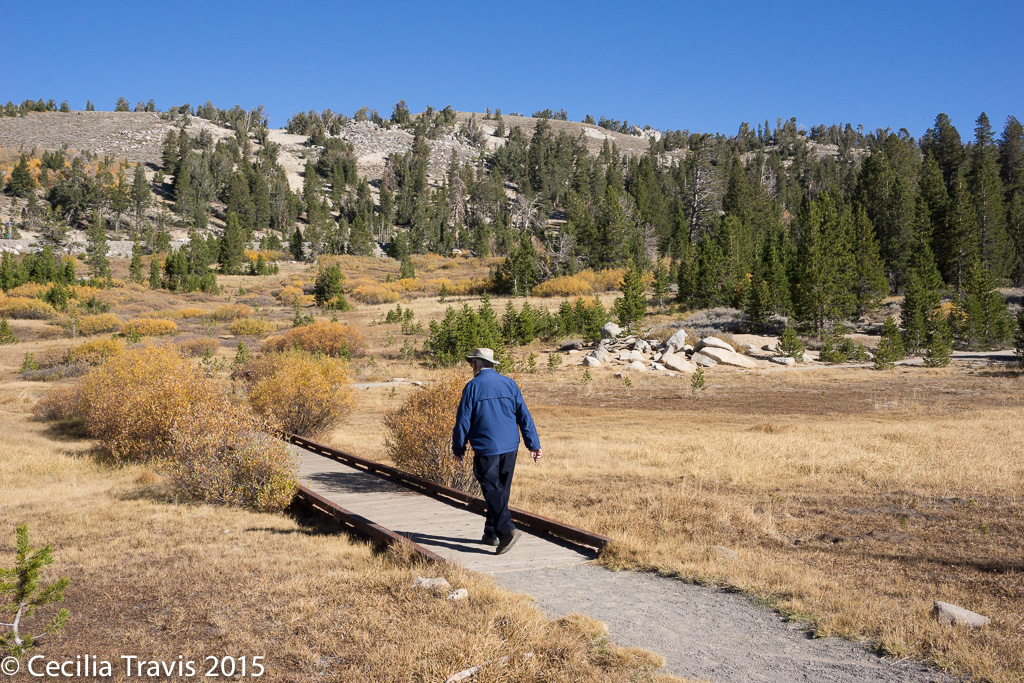
Hiker on wheelchair accessible Tahoe Meadows Trail, Toiyabe-Humboldt National Forest, NV
Accessible Tahoe Meadows Trail
Wheelchair accessible Tahoe Meadows Trail, Toiyabe-Humboldt National Forest, NV
Accessible Tahoe Meadows Trail

Wheelchair AccessibleTahoe Meadows Trail is a 1.2 mile loop off the Mount Rose Highway.   No flowers when we were there in October, but pretty anyway.  Elevation is about 9000′.

HikerwithcaneGenoa Trail system includes two easy hikes at the Nature Conservancy’s River Ranch: “…The East Brockliss Loop is a 0.7 mile, nearly flat, natural surface trail with two short 24” wide boardwalks over water part of spring.”
Wheelchair Accessible The West Fork Trail is a 2-mile long, flat and wide trail also used occasionally as a ranch road that connects Genoa Lane and Muller Lane.”  From Jeremy Vican, VP Trail Operations, “This on the River Fork Ranch Nature Conservancy property, a part of the Genoa Trail System most easily accessed from Genoa Lane.”
Wheelchair AccessibleGenoa Vista Trail as described by the Carson Valley Trails Association, ” This is an approximate 1.3-mile ..trail between the town of Genoa and David Walley’s Hot Spring Resort.”  and is fully paved in the town of Genoa.
From Jeremy Vican:
HikerwithcaneFay-Luther Trail system.  “The interpretive trail on Fay-Luther Trail System [BLM description] is the most accessible trail on that system. It is an interpretive loop, definitely not wheelchair accessible because of sandy soils, but easily doable for children and elderly.”
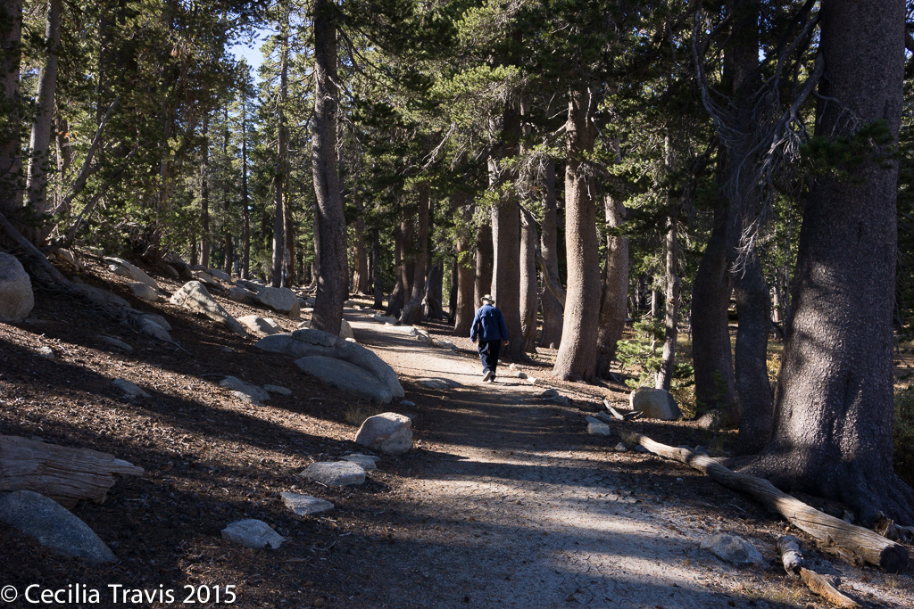
HikerwithcaneClear Creek Trail is a gentle grade…,not wheelchair accessible though.”

HikerwithcaneBently-Kirman Tract Trail is flat, but a natural trail with cattle present, so not wheelchair friendly but very easy to do by most anyone else.”

Las Vegas

Las Vegas    Parks and Recreation call 702-229‐6541
Floyd Lamb Park at Tule Springs is a  680 acre park described as “… a welcome oasis in the desert of northwest Las Vegas. With its wildlife, lush vegetation, lakes and views of the Sheep and Spring Mountain Ranges, Floyd Lamb is a natural park unique to the typical Las Vegas urban experience.” Vegas.com  Rated in Yelp
Thank you to Lee Birch for this description: “Just north of central Las Vegas, this park has hard, wide, paved trails. Park offers fishing, 4 ponds, and horseback riding. Full outer loop is about 0.8 miles, with internal trails in and around the ponds. No steep slopes. Suitable for wheelchairs and mobility scooters.”
Phone 702-229-6297
Wheelchair Accessible 1 mile paved trail loops around the pond.  Described in AllTrails.com

Spring Mountain Ranch State Park

Spring Mountain Ranch State Park
Spring Mountain Ranch State Park, adjacent to the Red Rock Canyon National Conservation Area, “…has been used historically as a working ranch and a luxury retreat by a string of colorful owners, including German actress Vera Krupp and millionaire Howard Hughes. Today visitors can explore some of the oldest buildings in Nevada, a 1860s blacksmith shop, the Sandstone Cabin that was home to the founding family and the ranch house. Hiking trails throughout the park, in addition to tree-shaded picnic sites with tables and grills, make day trips to the park a family favorite. ”  Thank you David Low, for your help.
Here is the Park website.  Trail map.
? Two of the trails, 0.4 mile Lake Harriet and 0.3 mile North Ash Grove have crushed gravel or aggregate surfaces.  Although both have low average gradients, each has a relatively steep stretch might make them too difficult.  Call 702-875-4141 to inquire abut their suitability for you.

Rowe Sanctuary

Rowe Sanctuary
Rowe Sanctuary, Gibbon NE, is “dedicated to the conservation of sandhill cranes, whooping cranes and other migratory birds, and their habitat along the Platte River in southcentral Nebraska.”   Here is their website.   Phone 308-468-5282
HikerwithcaneAccording to Office Manager Kent Skaggs, “We do have one trail that is approximately 1/2 mile in length that would be easy for elderly walkers.  However, it does not have a surface of any type (just a mowed path) and probably wouldn’t be appropriate for most wheelchairs.  We do have one wheelchair accessible viewing blind along this trail, but we typically transport individuals via a golf cart to the blind during the time period we conduct viewings to see the sandhill cranes (March – early April).”

Valley of Fires Recreation Area

Valley of Fires Recreation Area

“Valley of Fires Recreation Area is beside the Malpais Lava Flow. About 5,000 years ago, Little Black Peak erupted and flowed 44 miles into the Tularosa Basin, filling the basin with molten rock. The resulting lava flow is four to six miles wide, 160 feet thick and covers 125 square miles. The lava flow is considered to be one of the youngest lava flows in the continental United States.” Despite its barren appearance from distance, you will find a wealth of plants and wildlife.
Here is the Area website.    Phone  575-648-2241 or 575-840-6243
 Described in Americansouthwest.net 
Wheelchair Accessible
Malpais Nature Trail  “….when you walk through the nature trail there are many varieties of flowers, cactus, trees and bushes typical of the Chihuahuan desert. There is a juniper that is said to be 400 years old. The lava is similar to Hawaiian lava, jagged and rippled, and most of the lava field is a wilderness study area. The self-guided …. Trail is paved for 1 /3 mile, fully accessible for individuals with disabilities. Interpretive brochures are available at the trailhead near the group shelter. In addition to the flora, fauna abound. There are bats, roadrunners, quail, cottontails,lizards, great horned owls, burrowing owls, buzzards, hawks, gnat catchers, cactus wrens, sparrows and golden eagles, a virtual birdwatcher’s paradise.”

Valley of Fire State Park

Valley of Fire State Park
58 miles from Las Vegas,  Valley of Fire State Park  is 40,000 acres of bright red Aztec sandstone outcrops nestled in gray and tan limestone.  There are “…ancient, petrified trees and petroglyphs dating back more than 2,000 years. A Visitor Center provides exhibits on the geology, ecology, prehistory and history of the park and nearby region. ”
Here is the Park website.   Telephone 702-397-2088  Facebook   Trail Map with surface and  slope details
According to Planetware.com “Mouse’s Tank is an easy but exceptionally entertaining, .75-mile out-and-back hike along a sandy trail through a canyon. The trail is flat, with essentially no elevation gain, if you stick to the path, and it dead ends at the Mouse’s Tank; a natural water catchment…”  The park’s trail guide claims that this trail has a 71′ stretch with a maximum grade of 21 to 31%.  Check with the Visitor  Center.

Ash Meadows National Wildlife Refuge

Ash Meadows National Wildlife Refuge
Here is the Refuge websiteBrochure   Map
“Year-round hiking is permitted along designated refuge roads and trails. Refuge boardwalks provide an up-close view of the springs, fish, and plants of Ash Meadows without disturbing the fragile habitat.”
Wheelchair Accessible? The photos of the boardwalks look as if they are wheelchair accessible, but you had better call 775 372-5435 to be sure.

Indian Cave State Park

Indian Cave State Park
Indian Cave State Park “… is well known for its beautiful camping and picnicking spots, as well as for its 22 miles of scenic hiking and biking trails. The park boasts sweeping views of wide, winding Missouri river and a majestic hardwood forest that puts on a spectacular show of colors each autumn.”
Here is the Park website.   Phone  402-883-2575   Map
The superintendent at the Park, Kevin Holliday, writes that although the park’s location on the  Missouri river bluffs  makes most of the trails very strenuous, they “do have easier and more flat trails within the park. Our scenic wetland trail is mostly flat and also a couple woodland trails are less strenuous than most others. The park has maintained concrete roads that you can travel throughout the park and experience what the park has to offer.”  Call 402-883-2575 for information.

Access Recreation

Access Recreation  Here is a wonderful project in Washington and Oregon.
“Access Recreation [AR] is a Portland, Oregon ad hoc committee that has been developing uniform guidelines for minimum information that should be provided about hiking trails and outdoor recreational facilities, that would benefit hikers with disabilities.  These guidelines can be applied to websites, printed materials and at trail sites. …..When put into place, these guidelines will provide the public with easy access to better information on the accessibility of recreational and hiking trails in the states of Oregon and Washington and nationwide.”  Georgena Moran, founder and project coordinator,  says it is a “two-year project [ends June 2016] and as for now only two trails have been trail mapped the with video accompaniment.”   Article by Georgena,  “Trails for Everyone”.

Bear Yuba Land Trust

Bear Yuba Land Trust
The Bear Yuba Land Trust in Nevada County, California includes at least four accessible trails in the areas where the non-profit, membership-supported organization has acquired land to conserve “the region’s natural, historical and agricultural legacy.”  According to helpful people with the land trust, the trails listed below are “… ADA friendly but may not meet all ADA standards”.
Phone 520-272-5994   Here is the Trust’s Facebook page and their website   Trails Portal  Trails Location Map
Wheelchair AccessibleLitton Trail  2 miles one-way.  “A well-established trail through an informal urban greenbelt in the vicinity of the Sierra College campus in Grass Valley.”
Wheelchair AccessibleIndependence Trail West   Independence Trail East “Independence Trail transformed an historic gold mining ditch into the nation’s first identified handicapped-accessible wilderness trail. It is now one of the most popular trails in the area, contouring along wooded hillsides, passing live streams, and crossing deep gorges on restored wooden flumes that once transported water for hydraulic mining. The trail has two separate sections — West and East — that extend from one main trailhead on Highway 49.”    “West trail is wheelchair accessible in dry months from the trailhead to a short way beyond Flume 28 (about 1.1 miles one way).”
“Like the Independence Trail West, the East trail follows the gentle gradient of an old mining ditch and is wheelchair accessible. It offers occasional views of the South Yuba River canyon and passes seasonal side streams and bogs. Tree cover and a generally northerly orientation keep the trail relatively cool and green for its 1400-1500 foot elevation.”
Thank you to Rosemary Mendonca who wrote with this sad news, “…much of this wonderful trail sustained damage in the \”Jones\” wild fire last year and it is closed to the public. They intend to repair and rebuild but it\’s unknown when it will reopen. https://activenorcal.com/historic-independence-trail-destroyed-in-northern-californias-jones-fire/    https://www.bylt.org/independence-trail/
Wheelchair AccessiblePenn Valley Bike Trail  1.7 miles one way  Not really a natural trail, the description of its environment is “commercial and residential areas with some areas of oak woodland and pines.”
Wheelchair AccessibleWestern Gateway Park Trail  A small town park with lots of grassy fields and a creek running though it. The fitness trail of about a mile round trip goes through “Mixed oak woodland and pines, riparian forest, and landscaped areas.”