New Mobility by United Spinal Association calls itself “the magazine for active wheelchair users”.
Author: Cecilia
Santa Clara Parks
Santa Clara County Parks
The regional parks system includes 28 regional parks encompassing over 52,000 acres. ” Regional parks are larger in size, usually more than 200 acres, than local neighborhood or community parks. Many of the County’s regional parks also feature points of local historic interest.” Here is their Park Finder tool for finding a park that fits your activity preference. Here is the County parks website.
In response to my inquiry, they sent this helpful reply:
“We do make every effort to design and build trails that meet grade and width requirements. The following is a short list of recently constructed trails and paved pathways that offer opportunities for those with disabilities requiring the use of mobility devices.
![]() Paved; Los Gatos Creek trail, Coyote Creek, Penitencia Creek, Martin Murphy at Coyote Lake, Harvey Bear Ranch.
Paved; Los Gatos Creek trail, Coyote Creek, Penitencia Creek, Martin Murphy at Coyote Lake, Harvey Bear Ranch.
![]() Natural surface trails; Coyote Lake Harvey Bear-Campground trail, Valley Oak, Calaveras, Rancho La Polka trail via the southern segment of the Mendoza trail. Sanborn County Park-John Nicholas trail and the Indian Rock trail.”
Natural surface trails; Coyote Lake Harvey Bear-Campground trail, Valley Oak, Calaveras, Rancho La Polka trail via the southern segment of the Mendoza trail. Sanborn County Park-John Nicholas trail and the Indian Rock trail.”
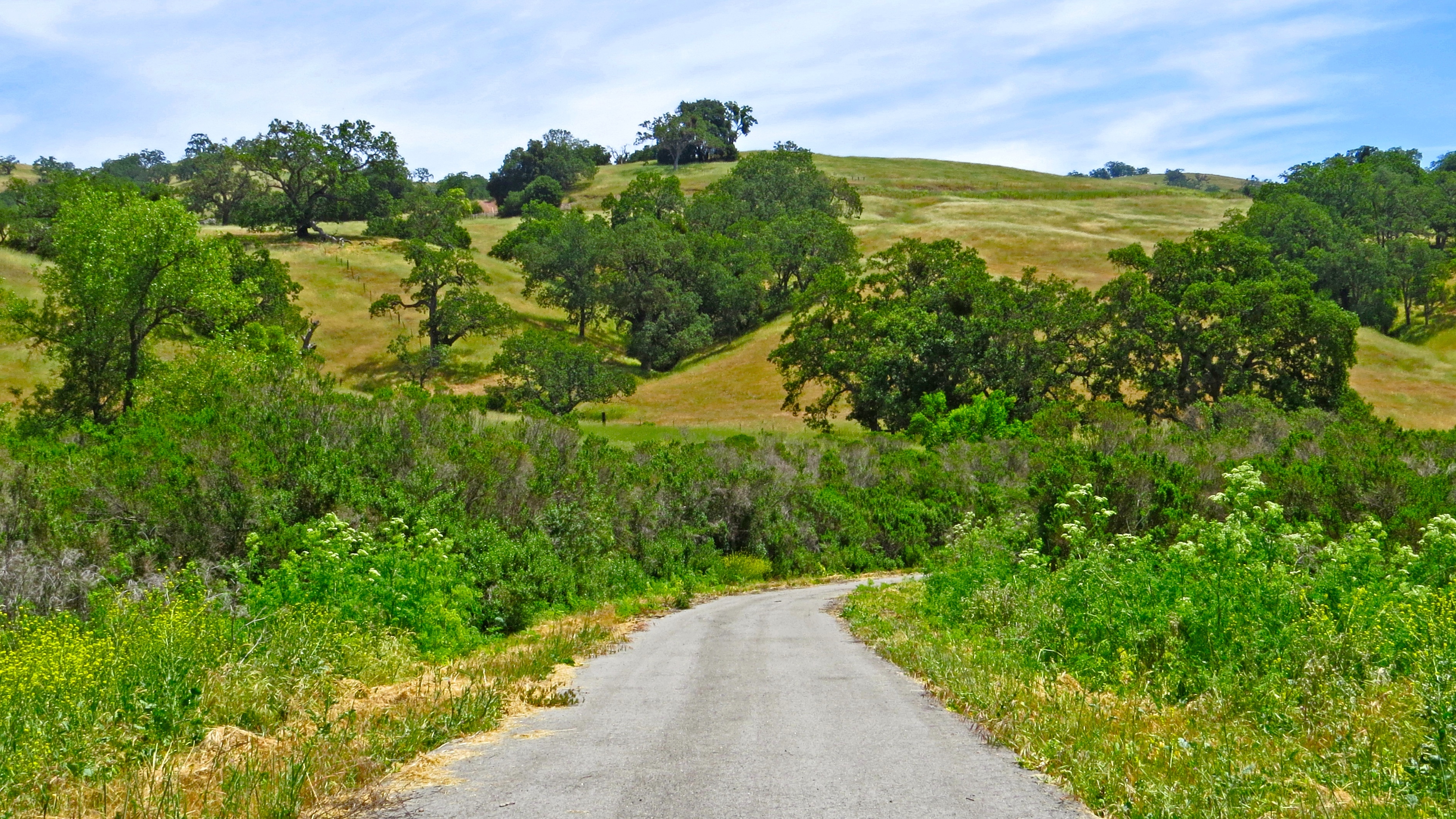
![]() The Joseph D. Grant County Park, also known as Grant Ranch Park is in the Diablo Range foothills of the eastern Santa Clara Valley. Thank you to Mark Heir for the lovely photos. Here is a video he shot as he explored this park .
The Joseph D. Grant County Park, also known as Grant Ranch Park is in the Diablo Range foothills of the eastern Santa Clara Valley. Thank you to Mark Heir for the lovely photos. Here is a video he shot as he explored this park .

-Nebraska State Parks and Recreation Areas Map
Nebraska State Parks and Recreation Areas
Here is a map showing the 76 State Parks and Recreation Areas. There are links to maps for each area and from the map you can link to the Park or Area website.
Phone for Nebraska Game and Parks is 402-471-0641.
Lincoln, NE
Lincoln
![]() Pioneers Park Nature Center has “eight miles of hiking trails [that] wind through various habitats and take visitors past non-releasable raptor exhibits, as well as bison, elk, and white-tailed deer herds.” Trail map The website does not give accessibility information, but they look easy. Call them at 402-441-7895 to learn more.
Pioneers Park Nature Center has “eight miles of hiking trails [that] wind through various habitats and take visitors past non-releasable raptor exhibits, as well as bison, elk, and white-tailed deer herds.” Trail map The website does not give accessibility information, but they look easy. Call them at 402-441-7895 to learn more.
Omaha
Omaha has trail system of more than 85 miles of paved, interconnected trails. The system is also accessible to people with disabilities.
![]() Keystone Trail is 24 miles long and “….passes through parks, farmland, residential and industrial areas.”
Keystone Trail is 24 miles long and “….passes through parks, farmland, residential and industrial areas.”
![]() West Papio Trail is 16 miles of concrete path that “winds along the West Papio Creek, through a number of neighborhoods, parks and recreation areas such as Zorinskly Lake.”
West Papio Trail is 16 miles of concrete path that “winds along the West Papio Creek, through a number of neighborhoods, parks and recreation areas such as Zorinskly Lake.”
![]() The Riverfront Trail is in three sections totalling 20.1 miles.
The Riverfront Trail is in three sections totalling 20.1 miles.
Council Bluffs, IA
Council Bluffs
Here is Council Bluffs Parks and Recreation’s website. Their phone number is 712-890-5291.
![]() The Iowa School of the Deaf Nature Center Trail is a one mile trail with historical markers, and restorations of a wetland and tall grass prairie and a wild flower plot. Location Map. The trail reviewed on AllTrails.com .
The Iowa School of the Deaf Nature Center Trail is a one mile trail with historical markers, and restorations of a wetland and tall grass prairie and a wild flower plot. Location Map. The trail reviewed on AllTrails.com .
![]() Valley View Trail 8.4 miles runs along the eastern side of Council Bluffs. The description on AllTrails.com says that it is “wheelchair friendly”.
Valley View Trail 8.4 miles runs along the eastern side of Council Bluffs. The description on AllTrails.com says that it is “wheelchair friendly”.
.
Fontenelle Forest
Fontenelle Forest
Fontenelle Forest has 1,400 acres near Bellevue. Their mission is to “..provide a place where people can experience and enjoy the quiet wild of nature.”
Here is their website. Phone 402) 731-3140 Trail Map
![]() Gifford Memorial Boardwalk is a 3/8 mile path leading to an observation tower overlooking the Great Marsh.
Gifford Memorial Boardwalk is a 3/8 mile path leading to an observation tower overlooking the Great Marsh.
![]() Riverview Boardwalk is a one mile loop from the Nature Center.
Riverview Boardwalk is a one mile loop from the Nature Center.
Neale Woods Nature Center in Omaha is 600 acres of forest owned and managed by Fontenelle Forest. Map Described on Nebraska Birding Trails. Looks like there are easy walks there. Call 402-453-5615 for information. Here is the website.
Teller Wildlife Refuge
Teller Wildlife Refuge is 1200 acres of bottom land in the Bitteroot Valley. The refuge is on private land, but has a one mile nature trail. I am guessing that this trail is easy enough for inclusion here, but please call 406-961-3507 to be sure. More information. Here is their website.
![]() ? The Teller Trail goes “…. along the banks of the Bitterroot River ……. Moose, deer, mountain lion and over 145 species of birds have called Teller home. The approximate mile long trail loop can be used for hiking, bird watching and fishing the Bitterroot River.” From Montana Birding & Nature Trail: “Walking quietly along the one-mile private nature trail through riverside cottonwood and ponderosas, you may spot all three species of nuthatches – white-breasted, red-breasted and pygmy. Note tracks in the mud of muskrat, beaver, red foxes and even otters, and the shrill piping of spotted sandpipers along gravel bars. Great blue herons fly by in spring from a nearby rookery.”
? The Teller Trail goes “…. along the banks of the Bitterroot River ……. Moose, deer, mountain lion and over 145 species of birds have called Teller home. The approximate mile long trail loop can be used for hiking, bird watching and fishing the Bitterroot River.” From Montana Birding & Nature Trail: “Walking quietly along the one-mile private nature trail through riverside cottonwood and ponderosas, you may spot all three species of nuthatches – white-breasted, red-breasted and pygmy. Note tracks in the mud of muskrat, beaver, red foxes and even otters, and the shrill piping of spotted sandpipers along gravel bars. Great blue herons fly by in spring from a nearby rookery.”
Bighorn Canyon National Recreation Area
Bighorn Canyon National Recreation Area
Bighorn Canyon NRA’s over 120,000 acres offers an “astounding diversity in ecosystems, wildlife, and more than 10,000 years of human history to explore.”
Hiking Guide Map This recreation area bridges Montana and Wyoming.
Driving directions from Montana and Wyoming Links to Trail Descriptions Here is their website. Phone 406-666-2412 or 307-548-5406 Accessibility
![]() Two Eagles Interpretive Trail 0.25 miles round trip
Two Eagles Interpretive Trail 0.25 miles round trip
![]() Bighorn Headgate Trail rated as an easy gravel path of 0.1 mile round trip to “quiet picnic area”.
Bighorn Headgate Trail rated as an easy gravel path of 0.1 mile round trip to “quiet picnic area”.
![]() Lockhart Ranch Trail consists of a choice of loops, one 0.5 miles, the other 2 miles. Both are old dirt roads.
Lockhart Ranch Trail consists of a choice of loops, one 0.5 miles, the other 2 miles. Both are old dirt roads.
![]() Visitor Center Pond 0.26 mile “…a great place to see red-winged blackbirds and boreal chorus frogs during the summer.”
Visitor Center Pond 0.26 mile “…a great place to see red-winged blackbirds and boreal chorus frogs during the summer.”
US Department of Transportation Federal Highway guidelines
US Dept. of Transportation Federal Highway Administration. Chapter 5 Trail Design for Access