Deception Pass State Park
“Deception Pass State Park spreads over 3,854 acres, a marine and camping park with 77,000 feet of saltwater shoreline and 33,900 feet of freshwater shoreline on three lakes. The park is actually located on two islands — Fidalgo to the north and Whidbey to the south. The Canoe Pass and Deception Pass bridges connect the two islands, creating a gateway for exploration.”
Here is the Park website. Phone 360-675-3767 Brochure
Whidbey Island
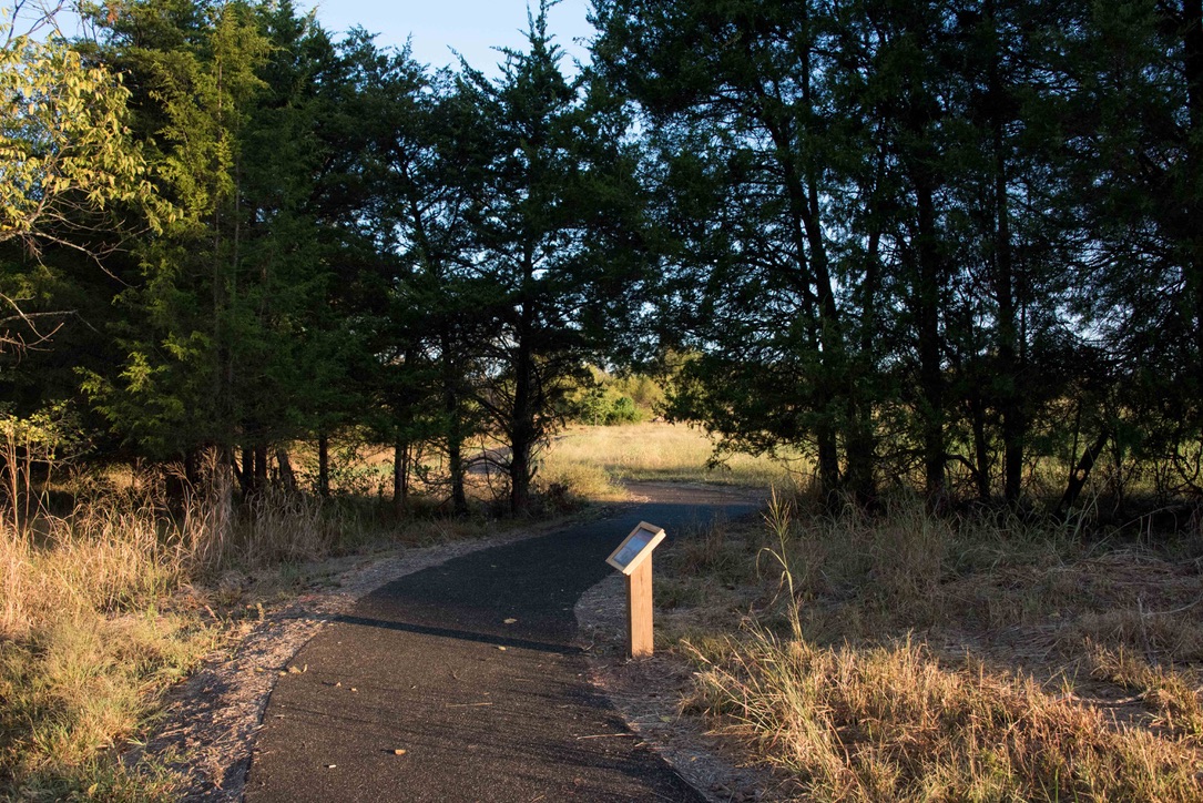
![]() Sand Dunes Interpretive Trail ADA compliant paved 1.2 miles round trip.
Sand Dunes Interpretive Trail ADA compliant paved 1.2 miles round trip.
![]() Cranberry Lake Trail 1 mile one way
Cranberry Lake Trail 1 mile one way
![]() ? Upland Interpretive Trail 0.25 mi. round trip
? Upland Interpretive Trail 0.25 mi. round trip