Sibley State Park
Sibley State Park has a wide variety of attractions including swimming, boating, fishing, camping, and 18 miles of “easy to moderate” trails winding through woods and hilltop prairies and savannas.
Here is the Park website. Phone 320-354-2055 Map
![]() Pond View Trail 2.7 miles
Pond View Trail 2.7 miles
Author: Cecilia
Grand Portage State Park MN
![]() Grand Portage State Park
Grand Portage State Park
Grand Portage State Park, on the U.S. – Canada border has the High Falls which drop 120 feet to the Pigeon River. “The falls, the highest in the state, presented a serious obstacle to river travel, so a “carrying place,” or portage, was necessary. American Indians created the ancient nine-mile trail from Lake Superior to bypass the falls. This trail became known as “The Grand Portage.” Today, visitors of all abilities can take a one-half mile trail and boardwalk to the falls overlook area.”
Interpretive displays provide an introduction to the culture and traditions of the Grand Portage Ojibwe people. Here is the Park website. Phone 218-475-2360![]() 0.5 mile accessible trail and boardwalk leading to the High Falls Overlook.
0.5 mile accessible trail and boardwalk leading to the High Falls Overlook.
![]() “The High Falls Trail is an easy, one mile round-trip hike.”
“The High Falls Trail is an easy, one mile round-trip hike.”
Gooseberry Falls State Park MN
Gooseberry Falls State Park
Gooseberry Falls State Park “… is known for its spectacular waterfalls, river gorge, Lake Superior shoreline, Civilian Conservation Corps log and stone structures, and north woods wildlife.” “….. Watch for waves, ships, or the moon rise on Lake Superior from an ancient lava flow known as the Picnic Flow.”
Here is the Park website. Phone 218-595-7100 Map and Guide
![]() one mile accessible trail from the visitor center to the main falls area.
one mile accessible trail from the visitor center to the main falls area.
Big Bog State Recreation Area
Big Bog State Recreation Area
Big Bog State Recreation Area includes a 500-square-mile peat bog in its northern unit. “This largely wilderness area is home to moose, white-tailed deer, black bear, gray wolves, fox, bobcat and other mammals. The bog also provides habitat for more than 300 species of birds.” “From orchids to carnivorous plants to rare birds, visitors will see a mixture of fascinating and rare resources.”
Here is the Park website. Phone 218-647-8592 Always call ahead to be sure of conditions and whether an “easy” trail is suitable for you.
![]() Big Bog Boardwalk 1 mile one-way
Big Bog Boardwalk 1 mile one-way
![]() Old Marina Trail 0.3 miles one-way to an observation deck over the Tamarac River. Mostly flat, mowed grass .
Old Marina Trail 0.3 miles one-way to an observation deck over the Tamarac River. Mostly flat, mowed grass .
![]() Red Lake Beach Trail 0.3-miles one-way. Mostly flat, packed dirt. Goes to an observation deck over Upper Red Lake.
Red Lake Beach Trail 0.3-miles one-way. Mostly flat, packed dirt. Goes to an observation deck over Upper Red Lake.
![]() Old Caribou Camp Trail 1-mile loop. Mostly flat, packed dirt.
Old Caribou Camp Trail 1-mile loop. Mostly flat, packed dirt.
Recreation.gov
Recreation.gov is ” your one-stop shop for trip planning, information sharing and reservations brought to you by 12 federal Participating Partners.”
Best Easy Day Hikes Lake Tahoe
The Falcon Guide “Best Easy Day Hikes Lake Tahoe” by Tracy Salcedo-Chourré is very helpful for pointing you to easy hikes.
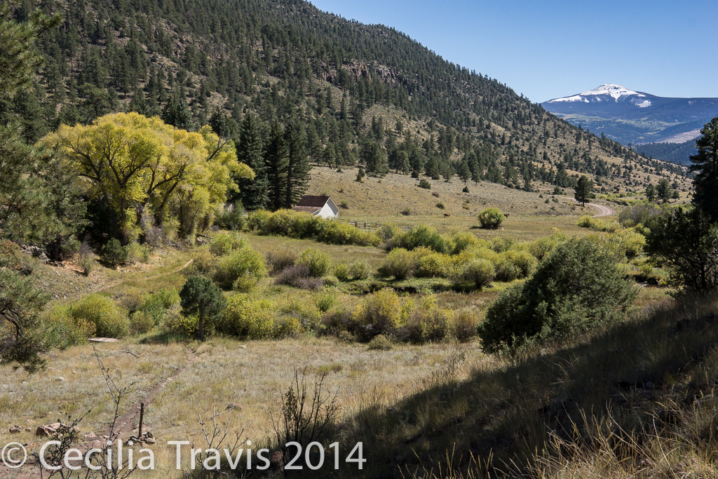
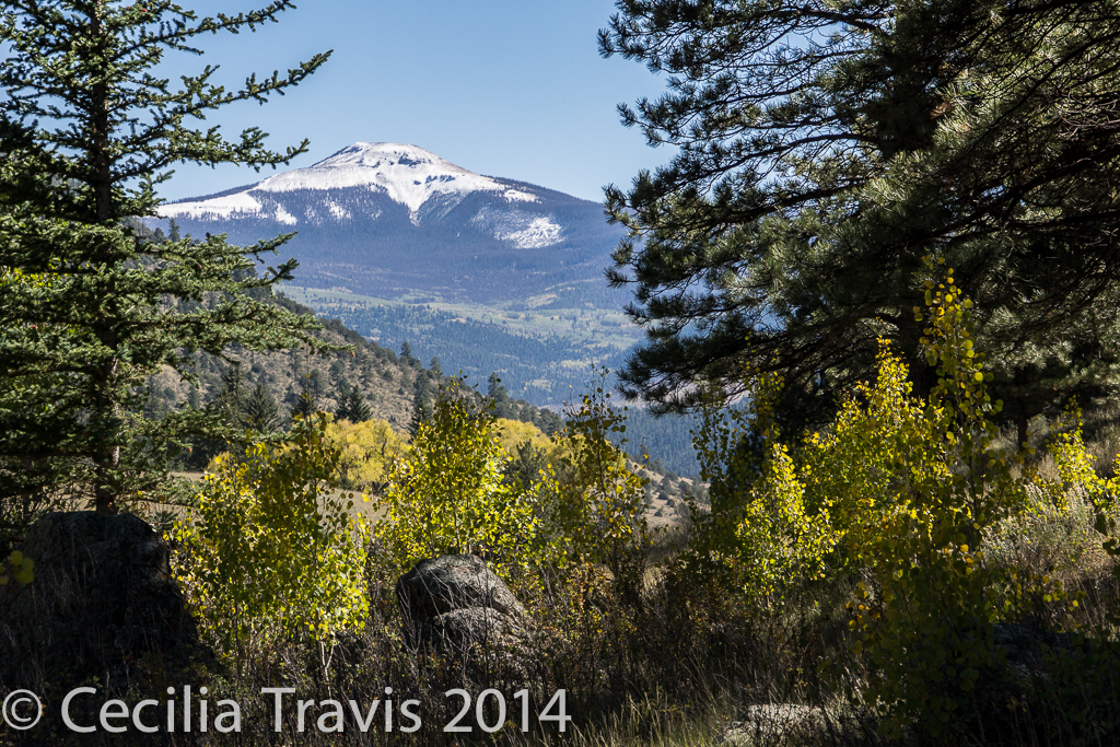
Rio Grand National Forest
Rio Grande National Forest
The Rio Grande National Forest in south central Colorado includes the spectacularly beautiful San Juan and Sangre de Cristo Mountains and contains the San Luis Valley and parts of four wilderness areas. There is not much online about easy trails here, so please write me about your favorites.
![]() Big Meadows Reservoir Thank you to Ronnie Day of the Forest Service, who wrote: “Our terrain doesn’t allow for much but we have a place called big meadows reservoir that has a short hardened trail from the campground down to the lake shore and along the shore a short ways. The rest of the trail circles the lake and is fairly easy along the dam and up the north shore. ” There is a wheelchair accessible fishing pier. Here is a link to a description of the Big Meadows Reservoir area.
Big Meadows Reservoir Thank you to Ronnie Day of the Forest Service, who wrote: “Our terrain doesn’t allow for much but we have a place called big meadows reservoir that has a short hardened trail from the campground down to the lake shore and along the shore a short ways. The rest of the trail circles the lake and is fairly easy along the dam and up the north shore. ” There is a wheelchair accessible fishing pier. Here is a link to a description of the Big Meadows Reservoir area.
![]() The Alder Bench trail (Forest Service trail 799) is easy for the first half mile or so going up into the forest. We stopped where it turned back and steepened. Directions and map. Coming back down to the trail marker post (it has lost its arms) I then followed a social trail north paralleling Alder Creek. After about 1/2 mile barbed wire marks the start of private property. This was a lovely, quiet little walk. Very easy and pretty.
The Alder Bench trail (Forest Service trail 799) is easy for the first half mile or so going up into the forest. We stopped where it turned back and steepened. Directions and map. Coming back down to the trail marker post (it has lost its arms) I then followed a social trail north paralleling Alder Creek. After about 1/2 mile barbed wire marks the start of private property. This was a lovely, quiet little walk. Very easy and pretty.
Websites about Trails
There are a number of searchable websites devoted to describing trails. They are pretty useful although most do not address wheelchair accessibility and their estimate of “easy” might not coincide with yours. Here are some of them: AllTrails.com, EveryTrail.com, GORP, Trails.com, American Trails
Continental Divide Trail in CO
The Continental Divide Trail is an amazing 3,100 mile trek from Mexico to Canada.
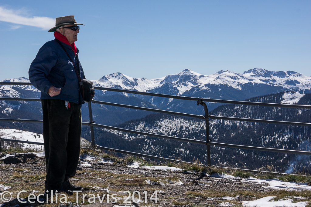
![]() You can walk a tiny portion of this trail, walking northwest from Lobo Overlook (altitude 12,000′). We were there the first week of October and there was too much snow for hiking, but I was told at least 1/2 mile is easy walking. However, the first 1/4 mile is downhill, which means you are coming uphill on the return. The 3 mile road to Lobo Overlook is off the summit of Wolf Creek Pass. The view alone is worth the drive, even if you don’t walk the trail. Here is a description from Trails.com and another from AllTrails.
You can walk a tiny portion of this trail, walking northwest from Lobo Overlook (altitude 12,000′). We were there the first week of October and there was too much snow for hiking, but I was told at least 1/2 mile is easy walking. However, the first 1/4 mile is downhill, which means you are coming uphill on the return. The 3 mile road to Lobo Overlook is off the summit of Wolf Creek Pass. The view alone is worth the drive, even if you don’t walk the trail. Here is a description from Trails.com and another from AllTrails.
Audubon Society Greater Denver
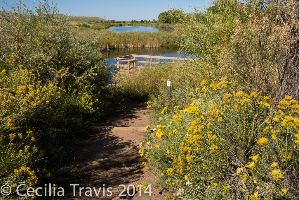
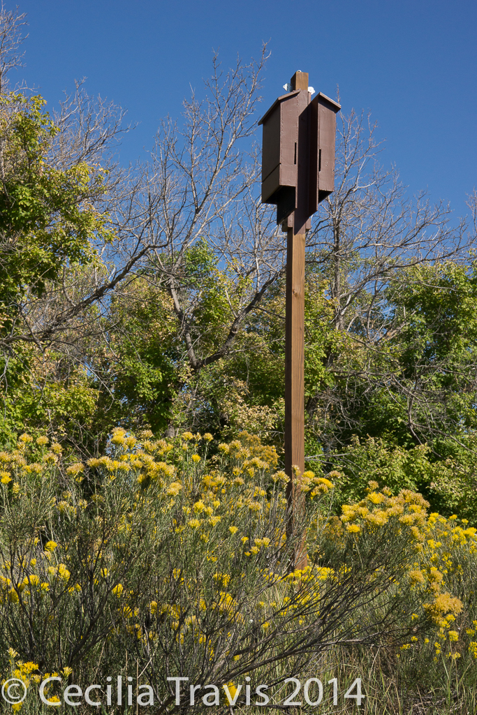
![]() The Discovery Pavilion of Chatfield State Park is operated by the Audubon Society of Greater Denver. The Audobon Discovery Loop trail can be 2.5 miles or less, depending on how many ponds you wish to walk around. Near the education center, there are interpretive trail makers, accessed by scanning with a smart phone. The trail as described in Pam and Dave Irwin’s Book “100 Best Denver Area & Front Range Day Hikes”. It is not wheelchair accessible and there are a few steps over water bars. There are a lot of social trails and we found it somewhat confusing. I veered off on one of these side trails and found a big pile of bear scat. There is a lot of poison ivy beside the trail.
The Discovery Pavilion of Chatfield State Park is operated by the Audubon Society of Greater Denver. The Audobon Discovery Loop trail can be 2.5 miles or less, depending on how many ponds you wish to walk around. Near the education center, there are interpretive trail makers, accessed by scanning with a smart phone. The trail as described in Pam and Dave Irwin’s Book “100 Best Denver Area & Front Range Day Hikes”. It is not wheelchair accessible and there are a few steps over water bars. There are a lot of social trails and we found it somewhat confusing. I veered off on one of these side trails and found a big pile of bear scat. There is a lot of poison ivy beside the trail.