City of Sackville
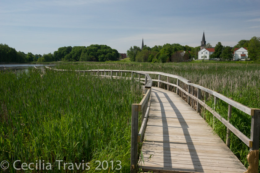
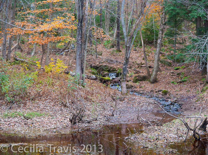
![]() The Waterfowl Park at Sackville is a beautiful wetland with extensive boardwalks. In places, the start of the boardwalk is several inches above the path.
The Waterfowl Park at Sackville is a beautiful wetland with extensive boardwalks. In places, the start of the boardwalk is several inches above the path.
mfbfw domain was triggered too early. This is usually an indicator for some code in the plugin or theme running too early. Translations should be loaded at the init action or later. Please see Debugging in WordPress for more information. (This message was added in version 6.7.0.) in /hermes/walnacweb05/walnacweb05ae/b91/traviswe49833/accessiblenature/wp-includes/functions.php on line 6170google-analytics-dashboard-for-wp domain was triggered too early. This is usually an indicator for some code in the plugin or theme running too early. Translations should be loaded at the init action or later. Please see Debugging in WordPress for more information. (This message was added in version 6.7.0.) in /hermes/walnacweb05/walnacweb05ae/b91/traviswe49833/accessiblenature/wp-includes/functions.php on line 6170wptouch-pro domain was triggered too early. This is usually an indicator for some code in the plugin or theme running too early. Translations should be loaded at the init action or later. Please see Debugging in WordPress for more information. (This message was added in version 6.7.0.) in /hermes/walnacweb05/walnacweb05ae/b91/traviswe49833/accessiblenature/wp-includes/functions.php on line 6170City of Sackville
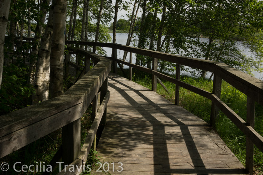
![]() The Waterfowl Park at Sackville is a beautiful wetland with extensive boardwalks. In places, the start of the boardwalk is several inches above the path.
The Waterfowl Park at Sackville is a beautiful wetland with extensive boardwalks. In places, the start of the boardwalk is several inches above the path.
City of Fredericton
Fredericton Trail Guide
Guides to trails — City of Fredericton The Fredericton Trails Coalition
Paperback: Trails of Fredericton by Bill Thorpe, Goose Lane Editions, 1999; New/Nouveau Brunswick Backroad Mapbook by Backroad Mapbooks
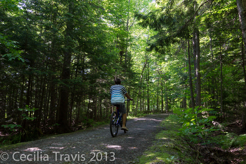
![]() The Gibson Trail is a 5.3 km flat, crusher fines-surfaced trail that “travels through urban and rural settings with secluded woodland and scenic views of the Nashwaak River.”
The Gibson Trail is a 5.3 km flat, crusher fines-surfaced trail that “travels through urban and rural settings with secluded woodland and scenic views of the Nashwaak River.”
![]() Odell Park Some of the 16 km of trails in the forested park are accessible or at least easy walking. We walked east from Montgomery and Smythe by the water tanks, GPS: N45° 56.974′ W66° 39.843′. This part is level and wheelchair accessible but then intersects the still easy, but steep, Main Woods Trail, which might be challenging in a wheelchair. On foot, we turned down hill till we came to path on the right to come back up and complete our loop. From the website: “The trail near the main entrance has a smooth and level crusher dust surface which makes it easily accessible to all users. As you head up into the wooded areas, the trail becomes steeper in grade and is a more difficult climb. “
Odell Park Some of the 16 km of trails in the forested park are accessible or at least easy walking. We walked east from Montgomery and Smythe by the water tanks, GPS: N45° 56.974′ W66° 39.843′. This part is level and wheelchair accessible but then intersects the still easy, but steep, Main Woods Trail, which might be challenging in a wheelchair. On foot, we turned down hill till we came to path on the right to come back up and complete our loop. From the website: “The trail near the main entrance has a smooth and level crusher dust surface which makes it easily accessible to all users. As you head up into the wooded areas, the trail becomes steeper in grade and is a more difficult climb. “